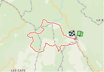
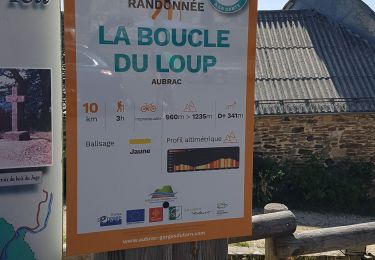
19.9 km | 26 km-effort
2021-08-01_15h59m39_signal-de-mailhebiau
gillesdeloddes
User
Length
16.2 km
Max alt
1467 m
Uphill gradient
442 m
Km-Effort
22 km
Min alt
1252 m
Downhill gradient
439 m
Boucle
Yes
Creation date :
2021-08-01 13:59:39.299
Updated on :
2021-08-01 13:59:43.505
FREE GPS app for hiking
About
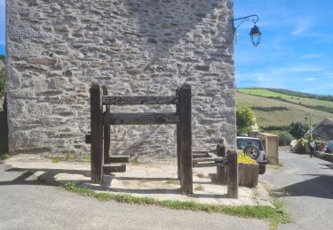
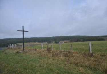
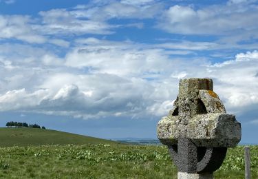
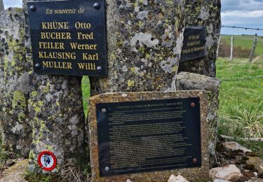
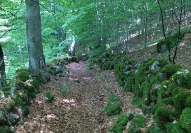
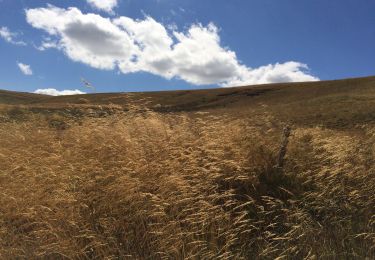
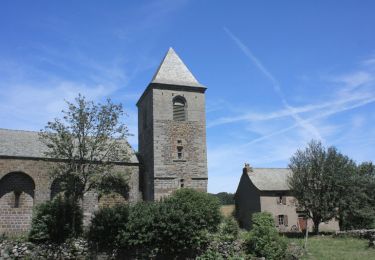
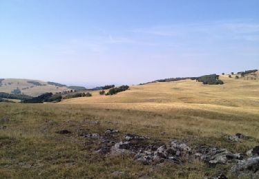
Trail of 16.2 km to be discovered at Occitania, Lozère, Les Hermaux. This trail is proposed by gillesdeloddes.
Description
Randonnée dans l'Aubrac au départ du Col de Bonnecombe.
Positioning
Country:
France
Region :
Occitania
Department/Province :
Lozère
Municipality :
Les Hermaux
Location:
Unknown
Start:(Dec)
Start:(UTM)
509949 ; 4934240 (31T) N.
Comments
Trails nearby
Croix de Rodes Lac de Bonnecombe Signal de Mailhebiau
Walking
Easy
Saint Geniez d'Olt et d'Aubrac,
Occitania,
Aveyron,
France
5h 55min
Yes
Rando Lozère.. Rajas..Malailhebiai.
Walking
Very difficult
Les Hermaux,
Occitania,
Lozère,
France
20 km | 26 km-effort
4h 4min
Yes
rajas st chely
Walking
Medium
Les Salces,
Occitania,
Lozère,
France
19.4 km | 24 km-effort
7h 27min
No
Autour de maillebiau bonnecombes rajas
Walking
Medium
Les Salces,
Occitania,
Lozère,
France
17.1 km | 22 km-effort
4h 23min
Yes
la boucle du loup
Walking
Medium
Les Salces,
Occitania,
Lozère,
France
12 km | 16.8 km-effort
3h 42min
Yes
Tour des Monts d'Aubrac - Du refuge des Rajas à Nasbinals
Walking
Medium
Les Salces,
Occitania,
Lozère,
France
22 km | 28 km-effort
5h 30min
No
Signal de Mailhebiau
Walking
Medium
Les Hermaux,
Occitania,
Lozère,
France
21 km | 27 km-effort
4h 45min
Yes
Les plagnes à Saint Chely l'aubrac
Walking
Very difficult
Trélans,
Occitania,
Lozère,
France
26 km | 33 km-effort
8h 37min
No
pour rejoindre les Gites de Plagnes
Equestrian
Very easy
Les Salces,
Occitania,
Lozère,
France
15 km | 18.9 km-effort
Unknown
No